Well, I hate to put a kink in everyone's joy, but I do not believe that the Cluebox task is on Thunder Island. If you will look at Kiwi's beautiful pic of Thunder Island, you will notice that Thunder Island is surrounded by lake water.....calm still lake water.

Now if you will look at the following 3 photos, you will see in the background on the left, through the trees, what I believe is white water. This is indicative of rapids. Also the foliage is much less manicured than Thunder Island.


This photo really shows the boulders in the stream creating the rapids. It seems to me that the stream is flowing toward the camera. It is a little hard to tell in N/S photos. They are pretty flat, a but different camera angle in the K/T photo shows the direction of flow. It could possibly be an island in a smaller stream. The water behind Ken seems to maybe be diverting to the right. But it is much smaller stream than either the Colombia River or Lake Bonneville.
So my conclusion is, that it is either a steam flowing downstream either west or north. Mt Hood is just to the south and east of Cascade Locks, so all water flows west and north in this area. Maybe some of the Portland people can lock down just where this might be. I am assuming this is southeast of Portland. If it is southwest of Portland, ie, in the Newberg area, then the directions of the water would be reversed. The water would be flowing either east or north toward Portland.
It could be on private property, but I would guess one of those smaller parks with a stream running through it.
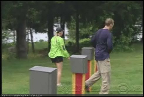
I first thought this was the brainteaser just before the Finish Line, but now I believe it is just a find a clue task. All those clueboxes and just three of them have a clue in it.


